Image: Google Maps
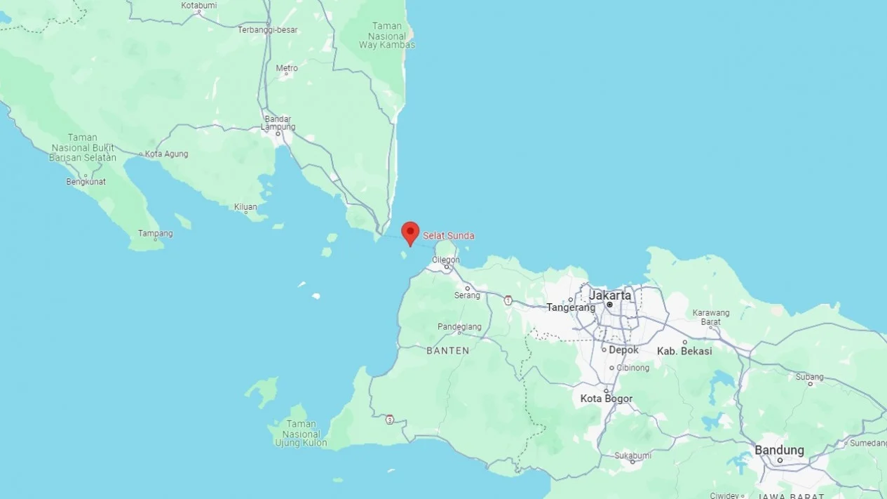
The Sunda Strait, positioned between the islands of Java and Sumatra in Indonesia, is a region of considerable geological interest due to its susceptibility to powerful seismic activities.
This area is known as the Megathrust of the Sunda Strait, identified by experts as a significant zone capable of producing large earthquakes.
The Nature of the Megathrust
According to Daryono, the Head of the Earthquake and Tsunami Center at Indonesia’s Meteorology, Climatology and Geophysics Agency (BMKG), the Megathrust of the Sunda Strait is characterized by its potential to generate substantial seismic events. He highlights a crucial concern identified by Indonesian scientists: the "seismic gap."
What is a Seismic Gap?
Daryono defines a seismic gap as a section along an active plate boundary that has not experienced a significant earthquake for over 30 years.
This extended period of inactivity raises concerns that the zone could unleash powerful tremors in the future. "This makes the area particularly worrying as it may lead to a strong earthquake all at once," he stated in a formal release.
Potential Magnitudes and Risks
The BMKG estimates that a significant earthquake originating from the Megathrust of the Sunda Strait could reach a magnitude of M 8.7.
Similarly, Widjo Kongko, an engineer at the National Research and Innovation Agency (BRIN), has echoed this concern, stating that the potential for an earthquake could indeed be as high as M 8.7.
However, he also notes that the magnitude could exceed this threshold if the seismic activity were to trigger simultaneously along connected segments of the Megathrust.
In particular, “If the release of potential energy occurs concurrently with the adjacent segments to the east, the magnitude could reach 9 or more,” he cautioned.
Understanding the Implications of a Megathrust Earthquake
The consequences of such an earthquake would likely have far-reaching implications, resembling the devastating 2004 Aceh earthquake and tsunami.
Widjo underlines the potential severity, indicating that the generated tsunami could be “scientifically predicted to be higher than that of Aceh.”
He explains, “However, due to the generally deeper waters in the region where the earthquake is expected to occur, the potential tsunami resulting from the Megathrust of the Sunda Strait could indeed be higher.”
Geological Context of the Megathrust
The Megathrust zone lies beneath the waters of the Sunda Strait, marking the convergence of the Eurasian and Indo-Australian tectonic plates. This area is known for its active subduction, with rates of movement estimated at 60-70 mm per year.
Such tectonic forces mean that seismic events can impact regions up to 170 km from the Megathrust's epicenter, including major urban areas like Jakarta.
Historical Precedents of Earthquakes and Tsunamis
The Sunda Strait’s history is notable for numerous powerful earthquakes and tsunamis, illustrating the seismic threats faced by the region. Key historical events include:
- May 4, 1851: A powerful earthquake centered in Tulang Bawang resulted in a tsunami that reached heights of 1.5 meters.
- January 9, 1852: Another strong earthquake led to a minor tsunami.
- February 23, 1903: An earthquake with a magnitude of M 7.9 struck the southern Sunda Strait, causing widespread destruction in Banten and surrounding areas.
- March 26, 1928: A small tsunami was recorded after a significant earthquake.
- April 22, 1958: An earthquake in the Sunda Strait was accompanied by a reported rise in sea level.
- August 2, 2019: A robust earthquake with a magnitude of M 7.4 struck, again threatening the Banten region with possible tsunami effects.